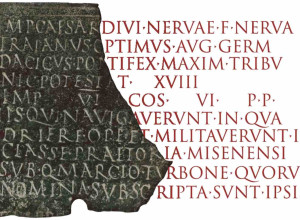
This exhibition presents many of the most historically significant manuscript maps from the late medieval and early modern period from the Beinecke Library’s vast collection of maps. It is focused on portolan charts - large, colorful charts that showed the shoreline of the Mediterranean, and were used by sailors to navigate from port to port. These maps were crucial to the expansion of European trade in the fiftieth and sixteenth century. Yale University Library has one of the most significant map collections of this period and owns some unique items not found in any other collection. When the holdings previously in the Map Room in Sterling Memorial Library were consolidated with Beinecke Rare Book and Manuscript Library collections in 2018, it formed the largest single repository of portolan maps in North America.
This exhibition presents maps from several different historical groups and demonstrates how maps functioned to place people within a larger world context. While primarily focusing on European maps, it also includes Middle Eastern and Asian world maps to illustrate common elements and also highlight significant differences. In addition, the exhibition presents some map forgeries and how they were determined to be fakes using scientific and historic analysis.
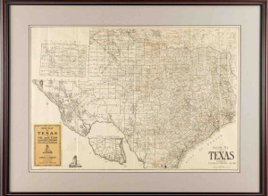
The flat display cases on the ground floor of the historic Beinecke Rare Book & Manuscript Library enable us to show twelve large maps alongside one another to allow the viewer to make comparisons between maps made at various periods and times in the crucial years surrounding the discovery, from the European perspective, of the new world.
Mon & Tue 9am – 4:30pm
Wed 10am – 4:30pm
Thu & Fri 9am – 4:30pm
Sat & Sun noon – 4pm
Beinecke Rare Book Library
121 Wall Street
New Haven, CT