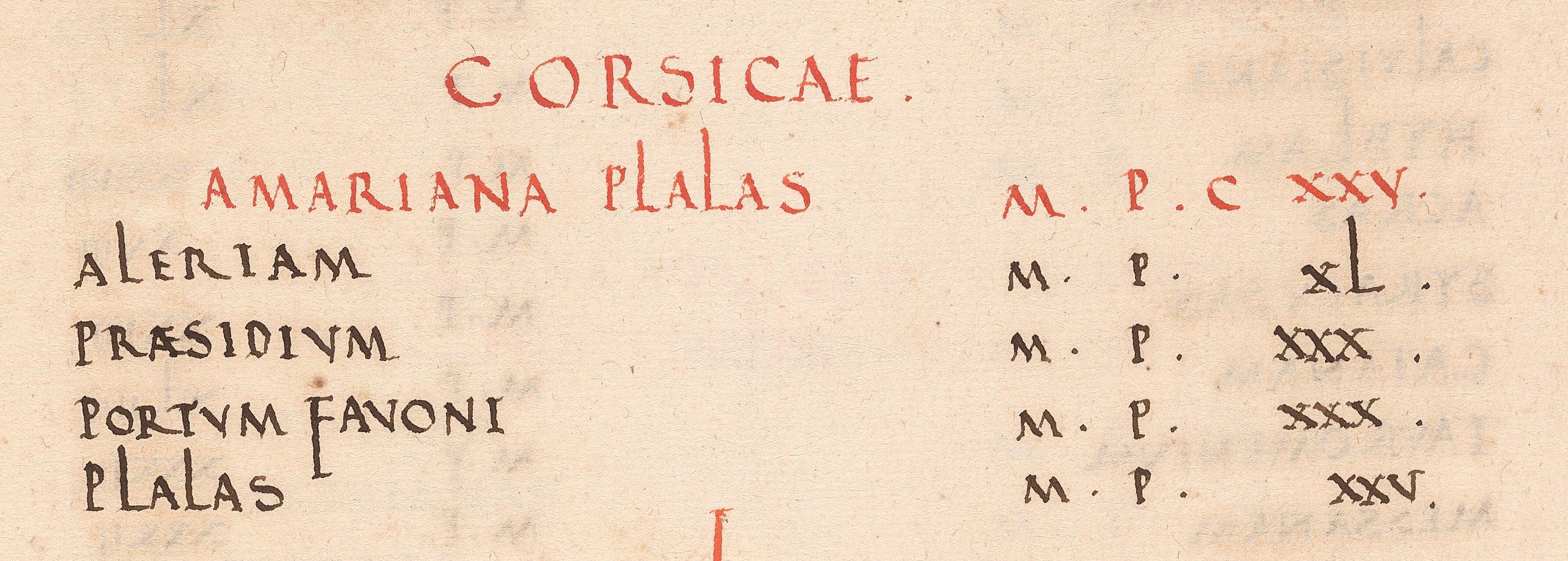
Above: Detail, Antoine Itinerary, p. 19. Beinecke MS 1244.
Although the Beinecke Library does not possess any maps made before the twelfth century, we do have a reproduction of the earliest “road map” of Europe, the Peutinger Table. This long, skinny roll shows all the roads that connected Roman cities to northern Africa, the Middle East, Byzantium, and Europe. No attempt at scale was made. We also have a Renaissance copy of a book called the Antonine Itinerary, a listing of cities and the distances between them. This verbal map is typical of most maps used for travel before the thirteenth century. We also have some early print copies of Ptolemy’s maps of the world, which only became available in Europe in the fifteenth century.
Featured Objects:
2016 +333 Peutinger Table Reproduction
Beinecke MS 1244 Antonie Itinerary