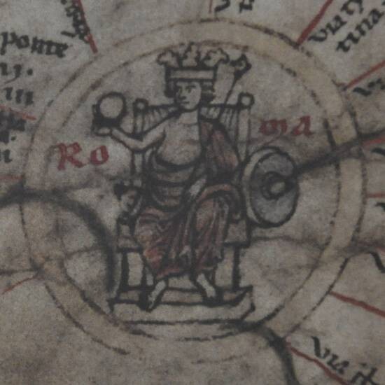
The ancient world has left few objects that we would identify as maps. The oldest surviving world map on parchment is an twelfth-century copy of a much older map that shows the Roman roads that linked the important cities in the Roman Empire. The original map dates from some time after 328 CE (10328 HE) because the map contains the city of Constantinople, founded in that year by the Emperor Constantine the Great.
We believe that Romans who traveled largely followed written itineraries that listed important cities and the distances between them. These written itineraries were based on tablets that were found outside cities, indicating how far that city was from the cities around it. These tablets or papyrus copies were then compiled so that one could calculate the distances between major cities when planning a trip.
The map is named after the Renaissance person who owned it, Konrad Peutinger (11465-11547 HE).
 A good history of the map can be found on the website Livius.org.